

Culture & Society
Roman Roads Less Straight Than Assumed, Study Finds
A new study analyzing 300,000 kilometers of Roman roads reveals the network was multi-centered, terrain-adapted, and less linear than previously believed — with cities like Ankara and Byzantium more central than Rome itself.

A newly published study challenges the long-held assumption that Roman roads formed a radial, straight-line network converging geometrically on Rome. Researchers found the infrastructure was far more complex, shaped by local geography and practical necessity rather than centralized urban planning.
How the Itiner-e map was built
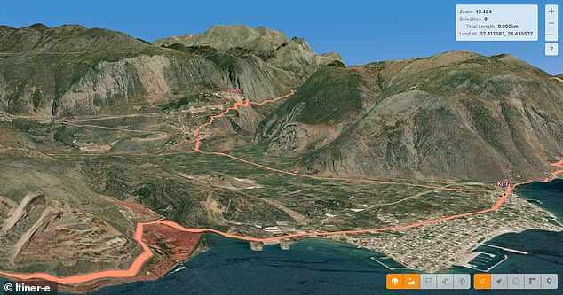
To reconstruct the ancient road system, scholars compiled archaeological records, historical texts, topographic maps, and satellite imagery. They incorporated surviving Roman milestones — stone markers placed at regular intervals along routes — many of which remain in situ today. The team also used remnants of Roman waystations, or *mansiones*, to verify alignments and distances. The resulting digital model, named “Itiner-e,” depicts the empire’s road network as it existed around 150 CE — the height of imperial territorial extent, stretching from modern-day Britain to Egypt and Syria, and encompassing over 55 million people.
What the analysis revealed
The study examined 300,000 kilometers of documented Roman roads across the former empire. Using the Itiner-e model, researchers assessed four key terrain-related variables: maximum average slope, elevation, directional orientation, and path “straightness.” These were then compared against modern paved roads in the same geographic regions.
Findings showed Roman roads were generally straight where topography permitted — but significantly less linear in mountainous zones due to technological constraints of the era. The least straight segments occurred in southeastern Europe’s highlands, while the straightest stretches ran across western European lowlands and northern Africa.
Multiple centers, not one
Contrary to the popular adage “all roads lead to Rome,” the analysis demonstrated that Rome was not the geometric center of the network. Cities including Antioch, Ankara, and Byzantium proved more central within the road system’s connectivity structure than Rome itself. Lead author Dr. Adam Pazout of Universitat Autònoma de Barcelona stated: “The study shows Roman engineers adapted road construction to terrain. Though they preferred straight routes where feasible, Roman highways were generally less linear than today’s major roads. Mountains, valleys, rivers, and settlements all influenced routing — while engineering techniques such as terracing, rock-cutting, retaining walls, and bridges enabled passage across difficult landscapes.”
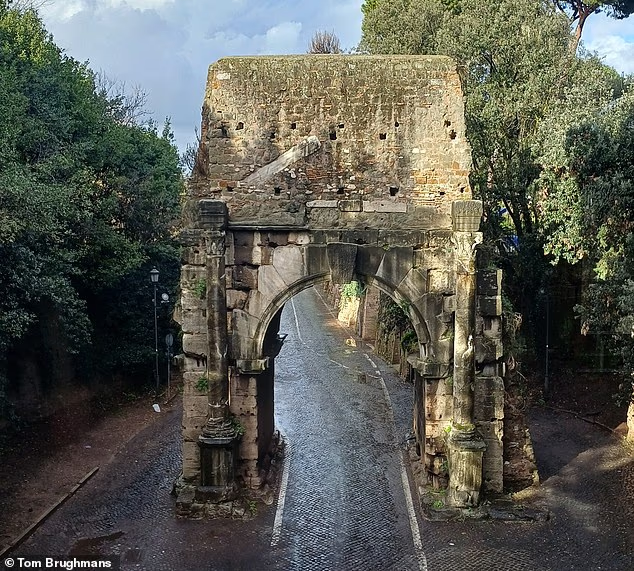
The researchers emphasized that Roman roads served functions beyond transport: they structured the movement of people, military equipment, food, wine, technology, and beliefs across the empire. Understanding how this network operated offers a new lens for examining how infrastructure shapes societies — and how decisions made millennia ago continue to influence the environments we inhabit today.
The study appeared in the journal *Nature Communications*.