

Lebanon
Partly cloudy weather with scattered rain and strong winds in Lebanon
Lebanon is expected to experience partly cloudy conditions with scattered rainfall and strong winds, particularly on Friday, as a moderate low-pressure system affects the region.

Forecasted by the Directorate General of Civil Aviation Meteorology Department's Forecasting Division, tomorrow's weather will be partly cloudy with no significant change in temperatures along the coast and inland, and a slight drop in mountainous areas. Fog will form at elevated locations, and light scattered showers are expected during the morning hours. The weather will gradually stabilize throughout the day.
The bulletin reads:
- General situation: Lebanon and the Eastern Mediterranean basin are affected by a moderate-intensity low-pressure system centered southwest of Turkey, accompanied by relatively cold air masses bringing scattered rains—sometimes heavy—strong winds, and will persist until Saturday afternoon when it will gradually recede and the weather will stabilize.
Warning issued for high wind speeds and elevated sea waves, with potential flash floods on roads expected on Friday.
- Weather forecast for Lebanon:
Friday: Partly cloudy to occasionally cloudy with a gradual and noticeable drop in temperatures, especially in mountainous and inland regions by about 6 degrees, falling below seasonal averages. Humidity levels will rise, dense fog will form at higher elevations, reducing visibility. Scattered rains will fall, sometimes intensifying—particularly in southern and northern areas—with thunder and lightning, strong winds increasing wave heights. Hail is expected, and flash floods may occur on some roads. Rain intensity will gradually decrease overnight, with intermittent breaks.
Saturday: Partly cloudy with no significant temperature changes along the coast and inland, and a slight drop in mountainous areas. Fog will form at elevated locations, and light scattered showers are expected during the morning hours. The weather will gradually stabilize throughout the day.
Sunday: Partly cloudy with a slight increase in temperatures and fog at higher elevations. Light scattered drizzle is expected, particularly in southern and mountainous areas during the afternoon.
Monday: Generally few clouds with rising temperatures returning to seasonal averages, and fog forming at elevated locations.
- Coastal temperatures: 22 to 31 degrees, mountainous areas: 12 to 23 degrees, inland: 14 to 29 degrees.
- Surface winds: Southwesterly to southerly, strong, speed between 25 and 65 km/h.
- Visibility: Poor overall due to fog and during periods of heavy rainfall.
- Relative humidity along the coast: between 65% and 80%.
- Sea conditions: Rough (wave height between 1.5 and 2 meters), surface water temperature: 29 degrees.
- Atmospheric pressure: 756 mmHg.
Latest news
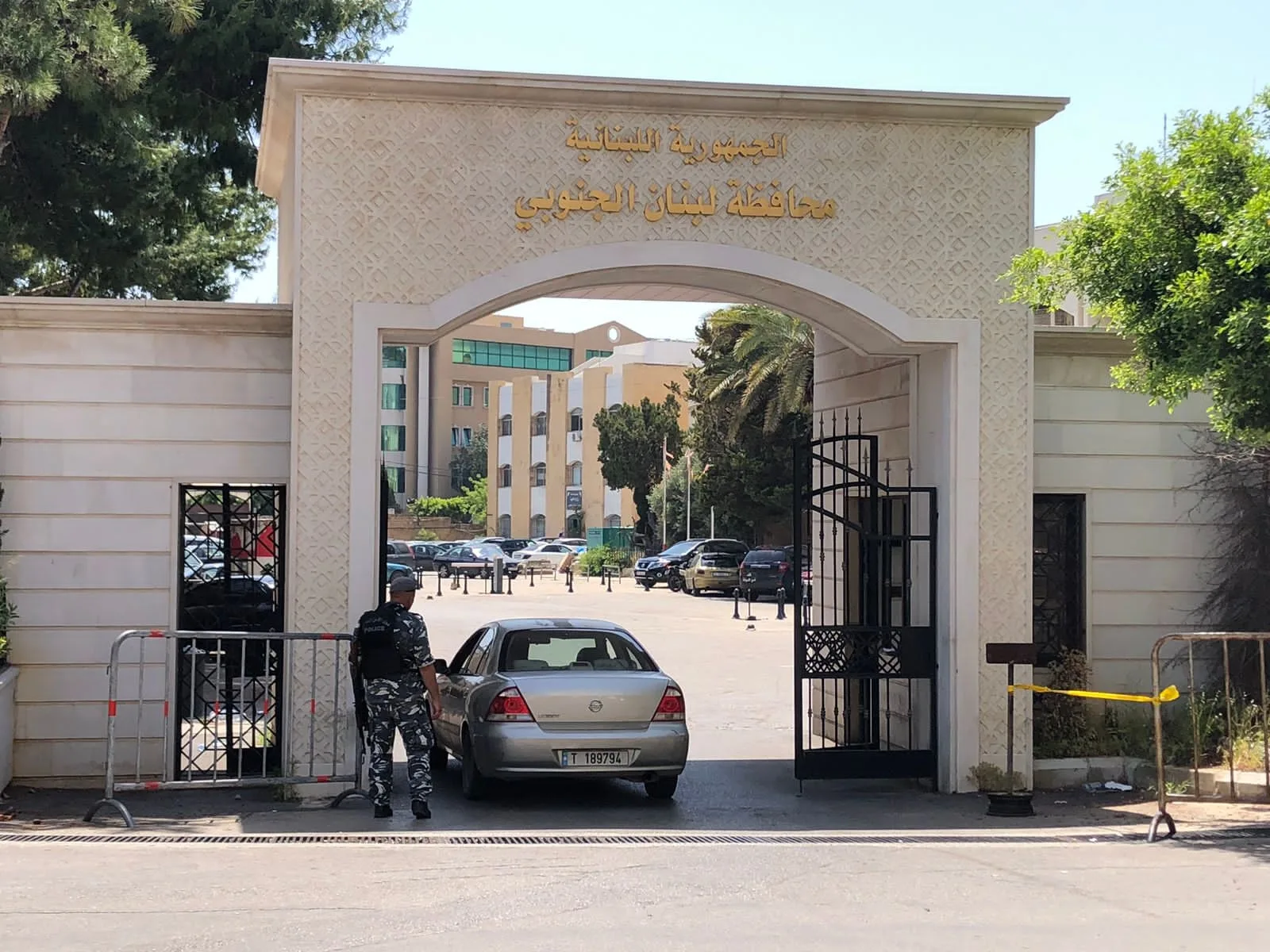
Some departments of Sidon's governorate closed, while essential services continue in others

After Gasoline Price Reaches $31, Talis Urges Government to Act

What Caused Tension Between the Lebanese and Israeli Armies in Deir Mimas?